Siege operations at Spanish Fort, Mobile Bay, by the U.S. forces under Maj. Gen. Canby : captured by the Army of West Miss. on the night of April 8 & 9, 1865
Digital Alabama (/article/alabama-battlefields)
Siege operations at Spanish Fort, Mobile Bay, by the U.S. forces under Maj. Gen. Canby : captured by the Army of West Miss. on the night of April 8 & 9, 1865
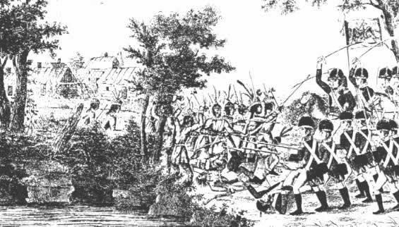
The Battle of Tallushatchee was a battle fought during the War of 1812 and Creek War on November 3, 1813.

The majority of Alabama battlefields found listed at other sites show only the major battles throughout Alabama’s history. Digital Alabama tries to include the countless lesser known incidents. If bullets or arrows are flying, it is a battlefield.
Creek War Battle Sites in Alabama
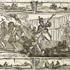
The Creek War (1813–1814), also known as the Red Stick War and the Creek Civil War, was a regional war between opposing Creek factions, European empires and the United States, taking place largely in today’s Alabama and along the Gulf Coast. The war of began as a civil war, largely centered among the Upper Creeks, whose towns were located on the Coosa, Tallapoosa, and upper reaches of the Alabama rivers. The major conflicts of the war took place between state militia units and the “Red Stick” Creeks. Introduction
In the early part of the sixteenth century, white explorers who visited the territory now forming the southeastern United States found it occupied by tribes of American Indians who had lived there for centuries. The Creek, Cherokee, Seminole, Chickasaw, and Choctaw Indians saw the land they inhabited become an object of desire for the visitors.
Map: Battle of Horseshoe Bend Date 5 November 2015, 11:45:25 Source The Pictorial Field Book of the War of 1812 Author Benson Lossing
On April 30 at Day’s Gap on Sand Mountain, Forrest caught up with Streight’s expedition and attacked his rear guard. Streight’s men managed to repulse this attack and as a result they continued their march to avoid any further delays and envelopments caused by the Confederate troops.

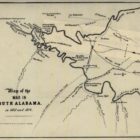
Map shows route taken by Union Admiral Farragut in August 1864 as well as that in March 1865, when his fleet provided naval support to land forces under Frederick Steele and E.R.S. Camby. Camby captured Spanish Fort and Blakely, across the bay from Mobile, entering that city on April 18. This map pays attention to the Confederates use of spikes and torpedoes (naval mines) as defenses against an invasion by water.

A regional view of Mobile and environs, encompassing Mobile, Blakely, Spanish Fort, Alabama City, Williamsburg, Fort Morgan, Fort Gaines, and Fort Orwell. Also shows defenses of Mobile Bay, including use of torpedoes (mines), spikes, and sunken logs. The city of Mobile was abandoned by the Confederates on the night of April 11-20th, 1865.