
Dale County Alabama
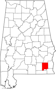
Map of Alabama Highlighting Dale County
Dale County is a county of the U.S. state of Alabama. The population iss 50,251 and its county seat and largest city is Ozark.
The vast majority of Fort Rucker U.S. Army Aviation Center for Excellence is located in Dale County.
Cities: Daleville, Dothan, Enterprise, Level Plains, Ozark
Towns: Ariton, Clayhatchee, Griimes, Midland City, Napier Field, Newton, Pinckard
Communities: Fort Rucker Army Base, Arguta, Asbury, Barefield Crossroads, Barnes, Beamon, Bells Crossroads, Bertha, Bethel, Browns Crossroad, Clopton, Dill, Dillard, Dykes Crossroad, Echo, Ewell, Gerald, Kelly, Mabson, Marley Mill, Plainview, Roberts Crossroads, Rocky Head, Skipperville, Sylvan Grove, Waterford, Wicksburg
loading map - please wait...
Army Aviation Museum Foundation, Inc., 6000 Novosel St, Fort Rucker, Alabama 36362 1-334-598-2508 or 1-888-Army-Avn Open Monday thru Friday 9:00 a.m. to 4:00 p.m and Saturdays 9:00 a.m. to 3:00 p.m. Closed Sundays and all Federal Holidays Except Memorial Day, Veterans Day and Independence Day 6000 Novosel Street, Fort Rucker, AL, United States | |