Map: Georgia & Alabama Post Offices, Post Roads, Canals, Rail Roads
Map:
Georgia & Alabama Post Offices, Post Roads, Canals, Rail Roads
Maps created for one purpose often contain a tremendous amount of information useful for purposes other than that intended. The References statement in the top right of this map indicates the map is marked with six types of routes:
- Horse Mail Post Coach Roads
- Stage
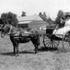
- Sulkey
- Cross
- Rail
- Canals
One might think the sulkey routes would be frequently traveled and be composed of locations frequented by local residents.

This map is available as a high resolution download HERE.
