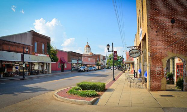
Columbiana Alabama is a city in Shelby County, twenty-five miles east of Birmingham. Columbiana is the county seat of Shelby County.
Columbiana Alabama is a city in Shelby County, twenty-five miles east of Birmingham. Columbiana is the county seat of Shelby County.

Calhoun County is a county in the east central part of the U.S. state of Alabama. As of the 2010 census, the population was 118,572. Its county seat is Anniston. Calhoun County is home to two major military installations, the now-decommissioned Fort McClellan and Anniston Army Depot.

During the Civil War, the Confederacy constructed Fort Tyler in Chambers County to protect the railroad bridge, wagon bridge, and Confederate supplies in the city of West Point, Georgia, just over the county line. Union forces seized the fort and destroyed the railroad during the Battle of West Point, one of the last battles of the war.

Arbacoochee in Cleburne County, Alabama was the site where gold was first discovered in Alabamam in 1832. Arbacoochee was located near the present CR-42 between SH 46 & SH 9, nine miles southeast of Heflin, Alabama.This was a gold-mining town that was established in the mid 1830s. By 1845 the population had grown to around 5,000 people, with most of the residents living in either tents or shacks.

Waterloo, Alabama is a Best Small Town in Alabama located in Northwest Alabama. Waterloo is surrounded by stunning views of the Tennessee River on gorgeous Pickwick lake.

Fort Cusseta is a must see for travelers since you will never see anything like it again as it is the last known fort of its kind in Southeast.

Tallapoosa County Alabama is a county in Alabama located in east-central Alabama. Tallapoosa County is home to Horseshoe Bend Military Park, site of the last battle of the Creek War, as well as Lake Martin and the Thomas Wesley Martin Dam.