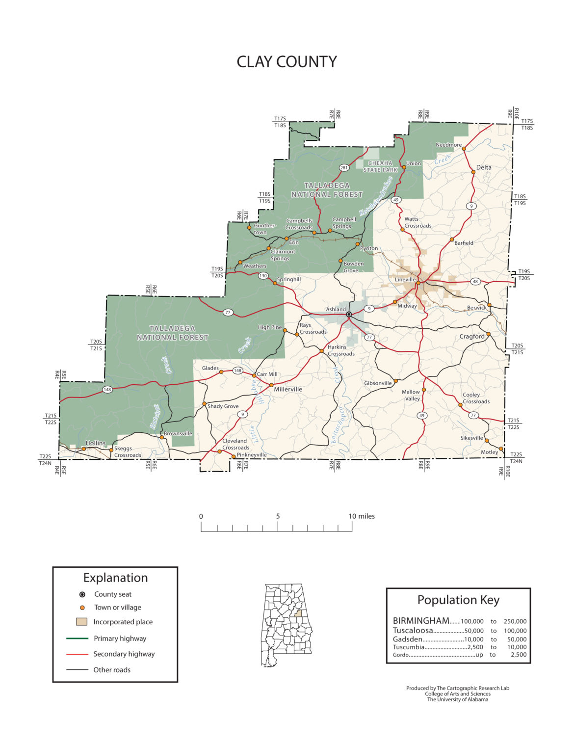
Clay County Alabama
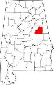
Clay County Alabama Map
Clay County population is 13,932. Its county seat is Ashland, Alabama. Its name is in honor of Henry Clay, famous American statesman, member of the United States Senate from Kentucky and United States Secretary of State in the 19th century.
Clay County was formed for geographic reasons. The citizens of the area had a difficult time reaching the county seat of Wedowee in Randolph County because of the Tallapoosa River to the east. Talladega was difficult to reach because of the intervening mountains. Even today, Clay County is one of only three counties in Alabama to have no U.S. Highways in its boundaries.
Clay County Alabama Cities:
Lineville, Alabama
Clay County Alabama Towns:
Ashland, Alabama
Clay County Alabama Communities:
Delta, Alabama
Hollins, Alabama
Millerville, Alabama
Corinth, Alabama
Cragford, Alabama
Clay County Alabama Zip Codes:
36251
The War of 1812 in Clay County Alabama
If you would like to become a sponsor, advertise a related location, service or vacation spot that would add to the usefulness of this site, please email us: staff@digitalalabama.com.
Clay County Alabama Sites Of Interest